
Parcel and ownership research.
Research parcel boundaries, ownership, zoning, and the surroundings of a property in the CRE Suite.
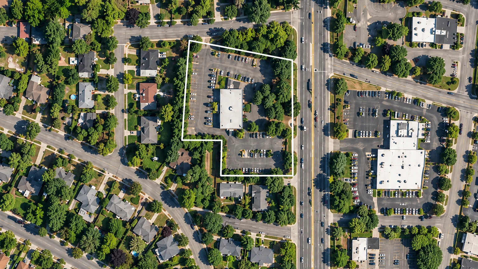
Start with the boundary.
Locate the parcel
Find a property and examine its mapped boundary in context.
Review the owner record
Connect the selected parcel with its recorded ownership information.
Explore neighboring lots
Review adjacent boundaries and the surrounding lot pattern.
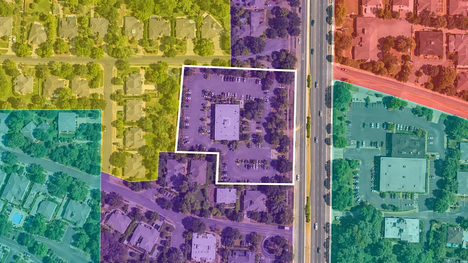
Add zoning to the picture.
Zoning context
Review the property’s designation and surrounding land uses.
Roads and surroundings
See how the parcel connects to nearby roads.
Saved observations
Keep parcel research and follow-up notes with each opportunity.
Frequently asked questions.
Is parcel research available in The CRE Suite?
Yes. Parcel and ownership research are CRE Suite features that connect with zoning, surrounding map context, saved properties, and acquisition notes.
Are mapped boundaries a legal survey?
No. Parcel maps help orient your research. Use a qualified survey and the appropriate legal documents to establish property boundaries for a transaction or development project.
Can I save my parcel research?
Yes. Save the property and keep notes in The CRE Suite. Connect your parcel observations with the acquisition pipeline so the team can revisit the research as the opportunity develops.
Put the parcel in context.
Connect property records and saved research in The CRE Suite.